• Analysis of solar potential using the Google Solar API •
The Google Maps Platform Solar API is a service aimed at accelerating the installation of solar and energy systems. The Solar API provides detailed rooftop data based on Google's extensive mapping and computing resources to estimate the potential and savings of rooftop solar installations. However, this information has so far been difficult to obtain for private users as the data is only available in the Google Claude API. This raw data must therefore first be visualized and evaluated.
Development of a web-based design for photovoltaic systems
The aim is to develop a website that enables users to evaluate the photovoltaic potential at their location with little effort. The current state of development and some initial results of the Google Solar Api are presented below.

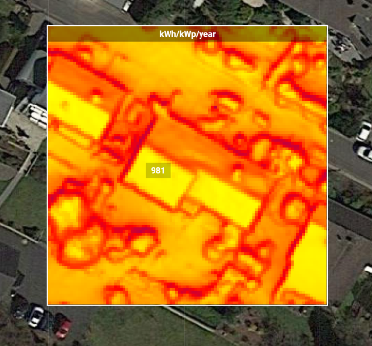
Annual electricity production per installed kWp
The annual production per installed kWp output already provides a good initial estimate of the potential of the respective roof area. The orientation, inclination and shading of the roof surface are taken into account.

Shading in hourly resolution
The calculation of shading in hourly resolution is one of the highlights of the Solar Api. This means that shading can be taken into account quickly and easily during planning. In addition, the local shading of individual panels can be calculated throughout the day.

The Google Solar API recognizes the inclination and orientation of roof surfaces and offers automated solution suggestions for a PV installation
The PV system shown here was created automatically by Google Solar Api. Even if the panel installation still has some weaknesses, the Solar Api determines the orientation and inclination of the roof surfaces relatively accurately.
Wir benötigen Ihre Zustimmung zum Laden der Übersetzungen
Wir nutzen einen Drittanbieter-Service, um den Inhalt der Website zu übersetzen, der möglicherweise Daten über Ihre Aktivitäten sammelt. Bitte überprüfen Sie die Details in der Datenschutzerklärung und akzeptieren Sie den Dienst, um die Übersetzungen zu sehen.